Training
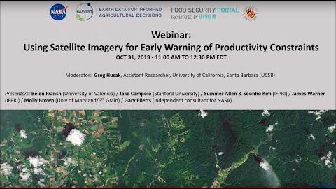
Webinar on Using Satellite Imagery for Early Warning of Productivity Constraints
To move the accuracy of food crisis predictions forward, the NASA Harvest Consortium - a multidisciplinary group of applied researchers and operations users led by the University of Maryland - is working to enhance the use of satellite data in decision-making related to food security and agriculture worldwide.
On October 31, the Consortium in collaboration with the Food Security Portal held a webinar to discuss the potential of satellite imagery for food crisis early warning systems. This webinar provided an opportunity to share the current state of knowledge and to identify areas of new or further collaboration.